
BTT Foundation and Vision ReportIn September 2020 a Minnesota Historical Society Legacy Grant was awarded to Boys Totem Town Land Preservation Group and Lower Phalen Creek Project to research a 72-acre Ramsey County site in the Highwood Hills neighborhood of St. Paul. The site was formerly Boys Totem Town, a juvenile detention center, and much of the landscape is a degraded Oak Savanna that has been left practically undisturbed. This site is just along the bluffs from historical Kaposia Village and just south of the sacred Dakota Burial Mounds and Wakan Tipi. The big question was “What will they discover?” The 106 Group was hired to find out.
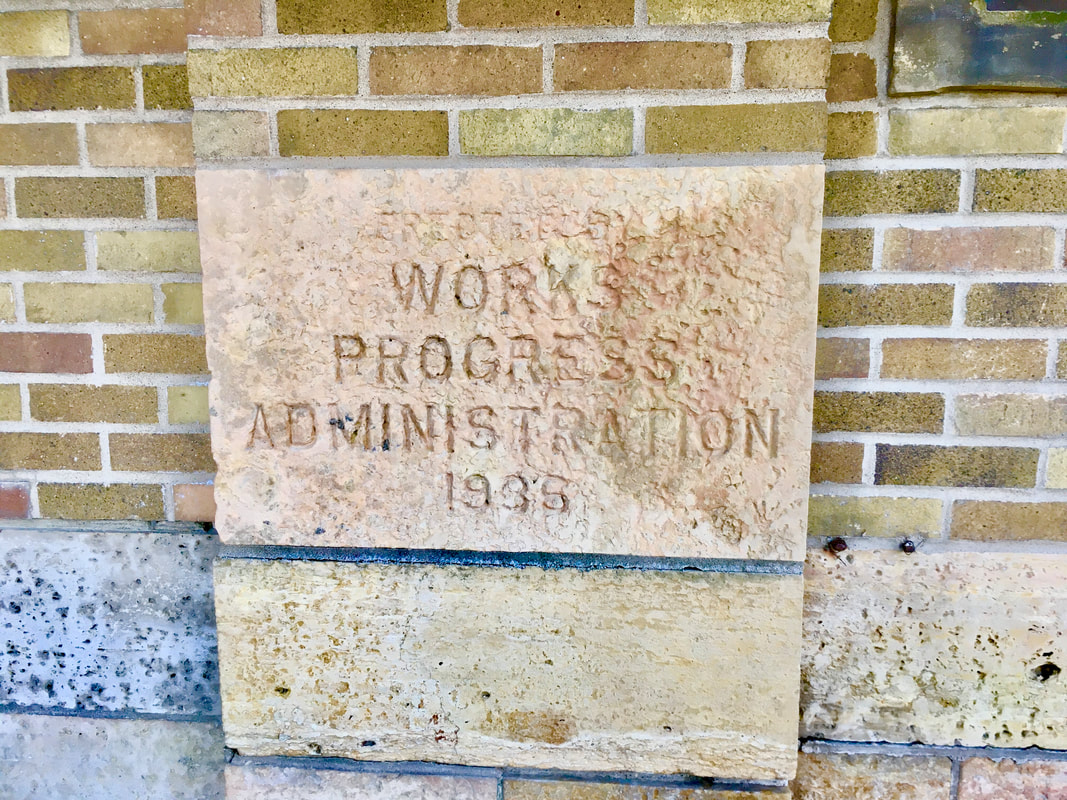
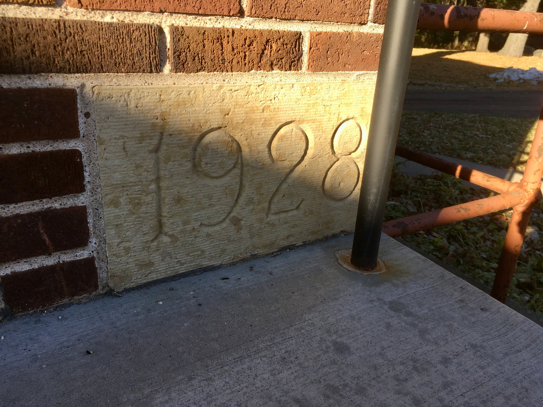
The subsequent report includes an initial property history, an architectural and cultural landscape assessment, and an archaeological assessment. The Boys Totem Town property may be historically and culturally significant for numerous reasons and associated with key topics and resources. The property may carry meaning for Dakota people given its proximity to Kaposia Village (Kapoza). In the late 1800s, the property became a farm and may reflect important agricultural patterns. In its conversion to a detention home in the early 1900s, and operation for over 100 years, the property may also be significant within the history of juvenile detention centers as Boys Totem Town represented a different approach to previous models and encouraged education. Boys Totem Town may also be significant to the communities from which the residents came and for the impacts of the facility on those communities. Some of the later history of the detention facility provides an opportunity to continue to address issues of inequality and social justice in public policies. Within the context of the Highwood Hills neighborhood, it may also be significant as a largely undeveloped parcel of land used by residents and neighbors for recreation. As there are buildings on the property that were constructed from the 1930s to the 1990s, this property may also reflect important events in local history that have not yet been identified. |
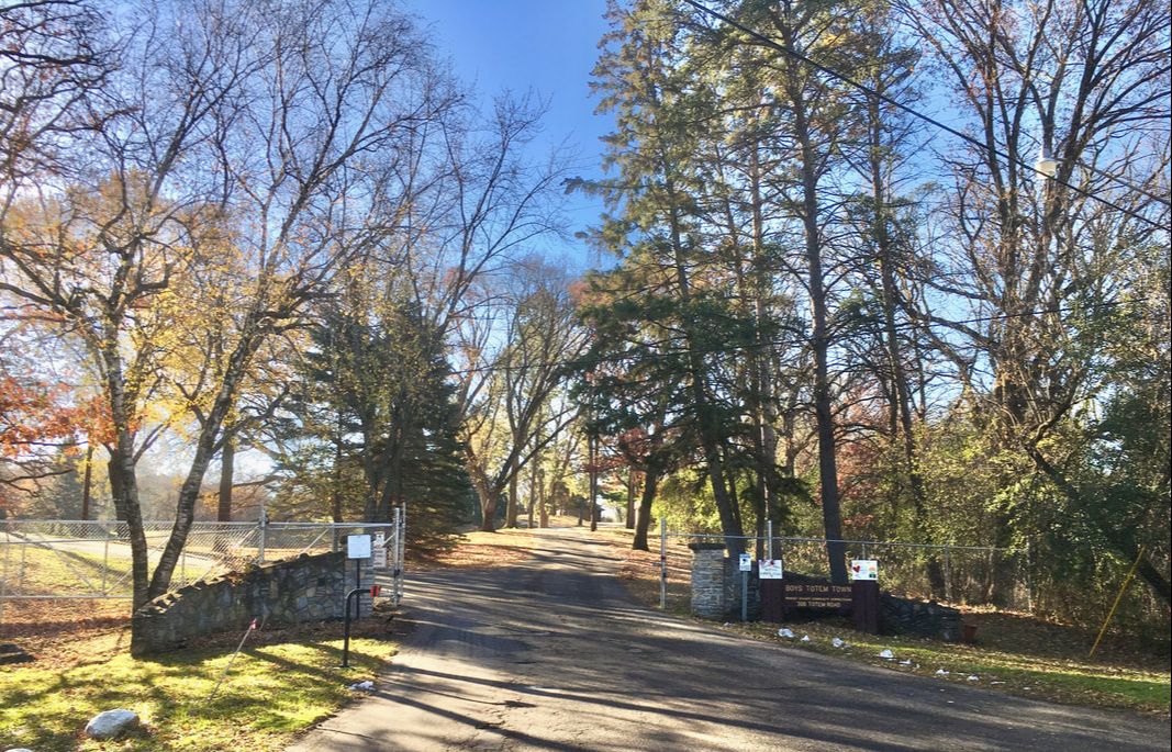
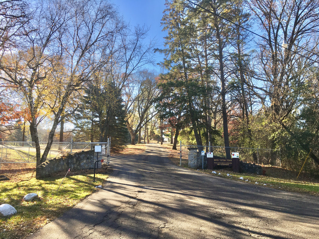
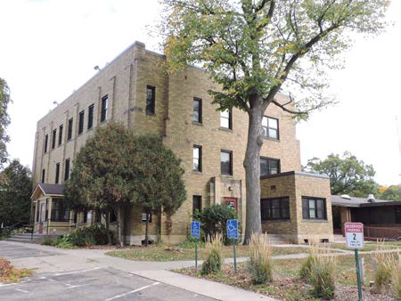
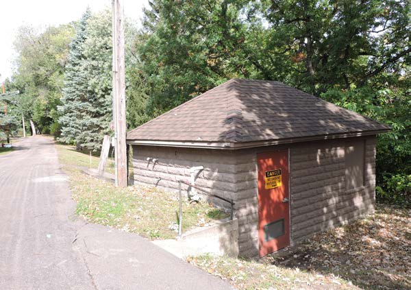
Entrance to Boys Totem Town
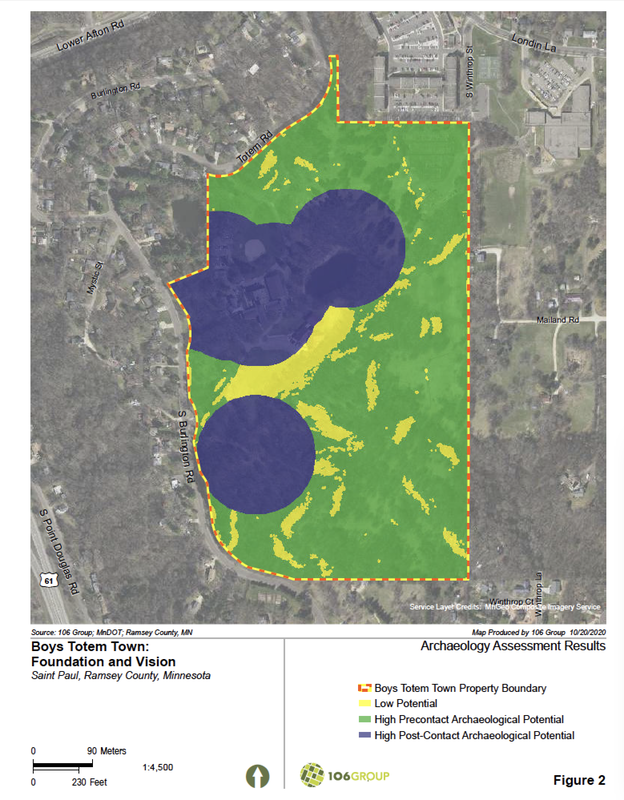
There are suspected and known burial sites in and near the property and a projectile point was previously discovered. These are indicators that there is a high potential for uncovering many more archaeological resources associated with both Indigenous history. In addition, there are likely archeological deposits associated with Euro-American history from the Boys Totem Town era. This foundational research provides a baseline of understanding from which a variety of future studies can develop. With this research, a vision for the future and possible next steps emerge.
Boys Totem Town Foundation and Vision - Full Report Click to Open
|
The Vision
The Boys Totem Town property is a rare gem in our region. It is a special place that provides a connection to the past, a respite for today, and a potential model for future re-use. Imagine an Environmental and Cultural Education Campus—a place for families, students, hikers, nature lovers, and history lovers to come together to learn, appreciate, and reflect on the meaning of this place or just to simply enjoy the outdoors unhindered by urban intrusions. A Place to Preserve + Explore
Highlights for Next Steps:
- A Master Plan is the next logical step for setting goals and objectives, and prioritizing actions over a short and long-term period. The plan should link implementation strategies with key stakeholder groups to effectively establish and build momentum for site reuse and a meaningful next chapter for Boys Totem Town.
- Evaluate the property for eligibility for listing in the National Register of Historic Places.
- Prepare a Cultural Landscape Report that would guide the management and treatment decisions about the landscape’s physical attributes, natural systems, and use in relation to this historic place.
- Prepare a Natural Resources Management Plan that includes recommendations for landscape resource management programs; eco-system (oak savanna) restoration; habitat restoration, enhancement, and protection; and education to protect natural resources and encourage broader support for long-term environmental stewardship.
- A Reuse Study and Land-use Plan should be prepared to understand how and for what purposes the existing buildings and surrounding lands can be reused.
- Prepare a Visitor Interpretive Experience Plan that documents the goals and actions needed to create meaningful visitor experiences, meet management goals, and consider resource protection as visitors use and enjoy the place.
- Undertake Management and Funding Analysis to identify and nurture public / private partnerships.
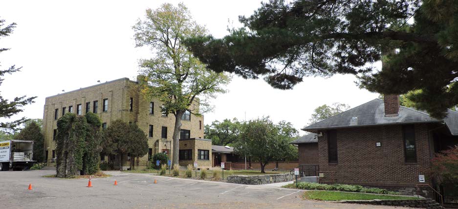
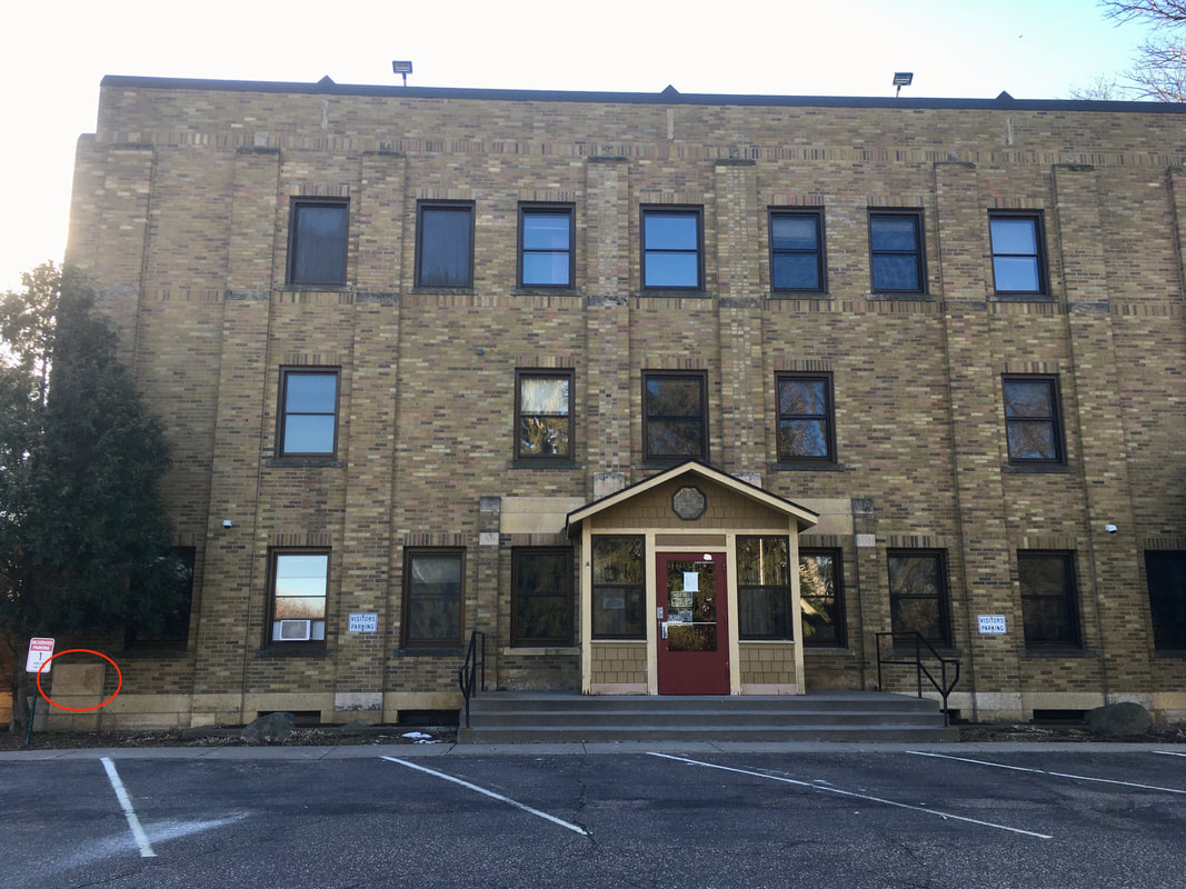
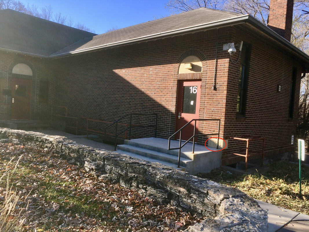
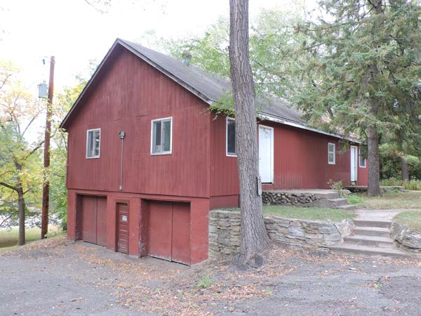
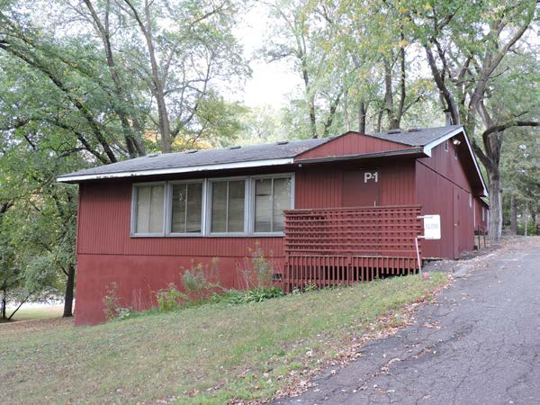
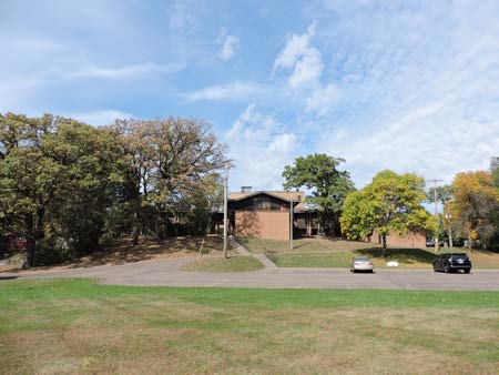
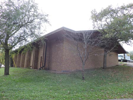
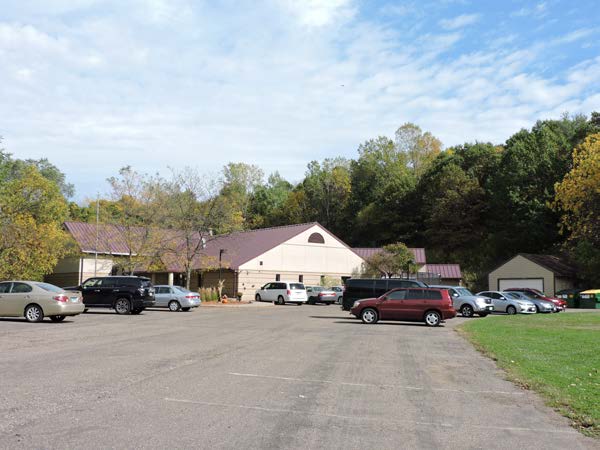
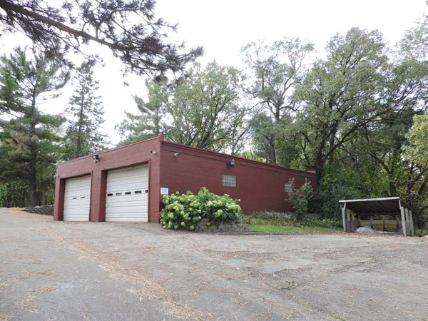
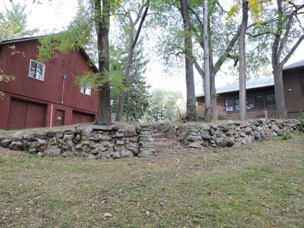
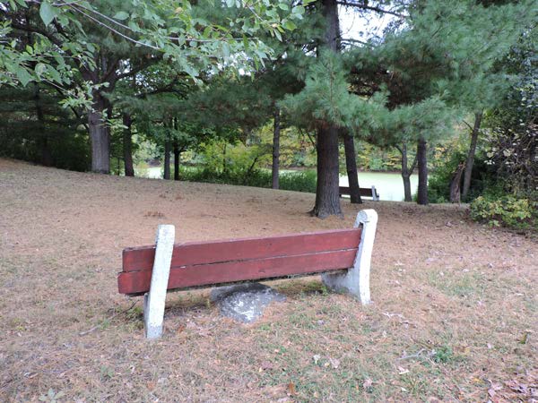
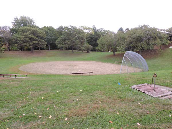
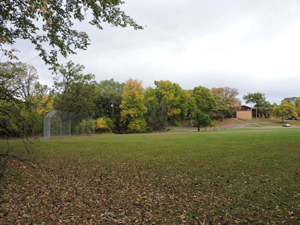
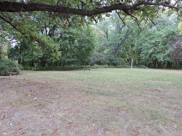
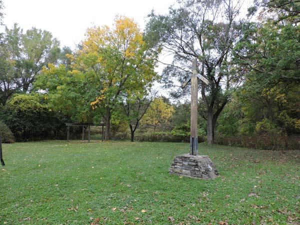
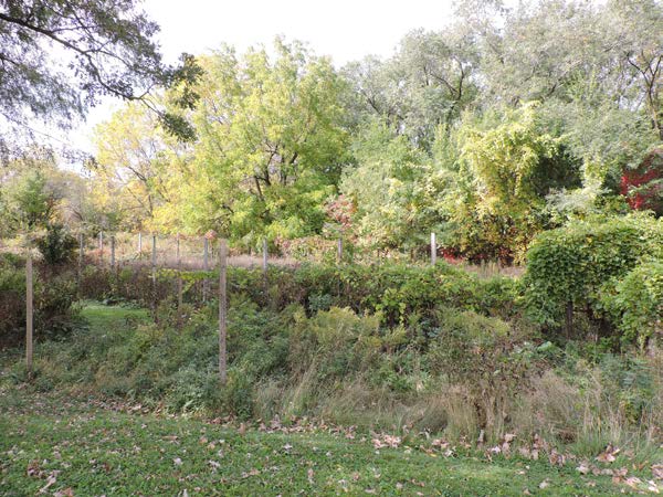
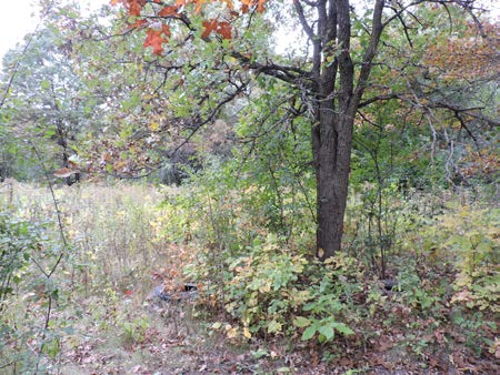
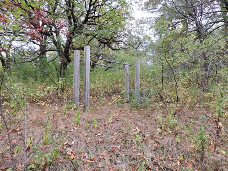
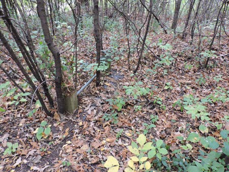
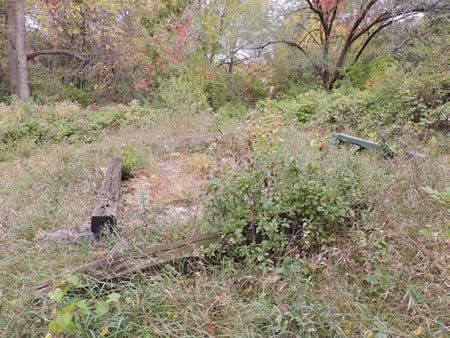
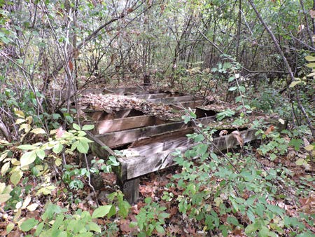
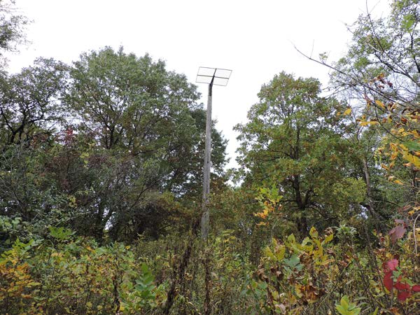
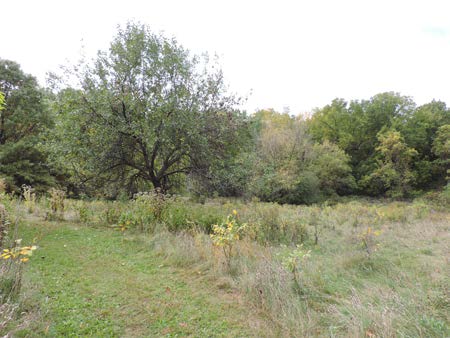
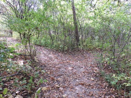
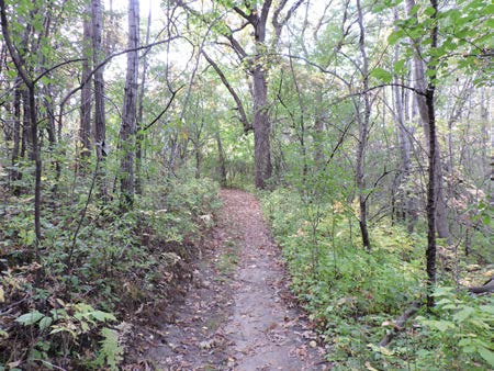
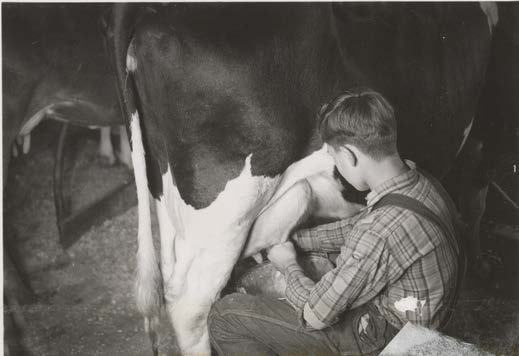
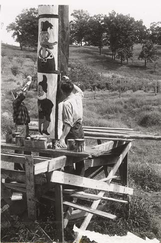
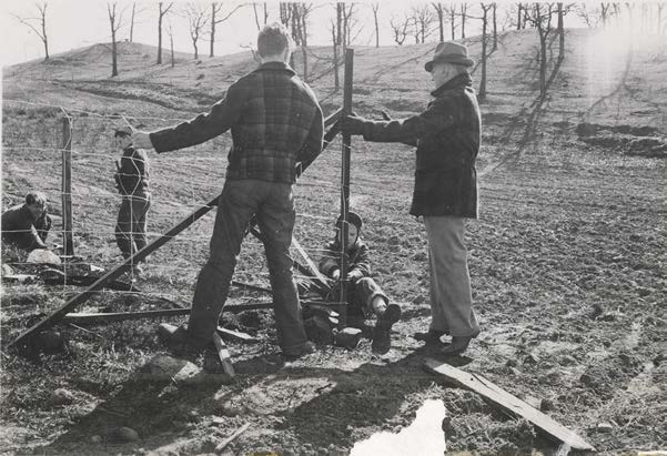
Some of the Images from BTT Foundation and Vision Report


Contact UsFor more information contact Patty McDonald, BTT Land Preservation Group or Maggie Lorenz, Lower Phalen Creek Project.
|
Subscribe for Media Updates |